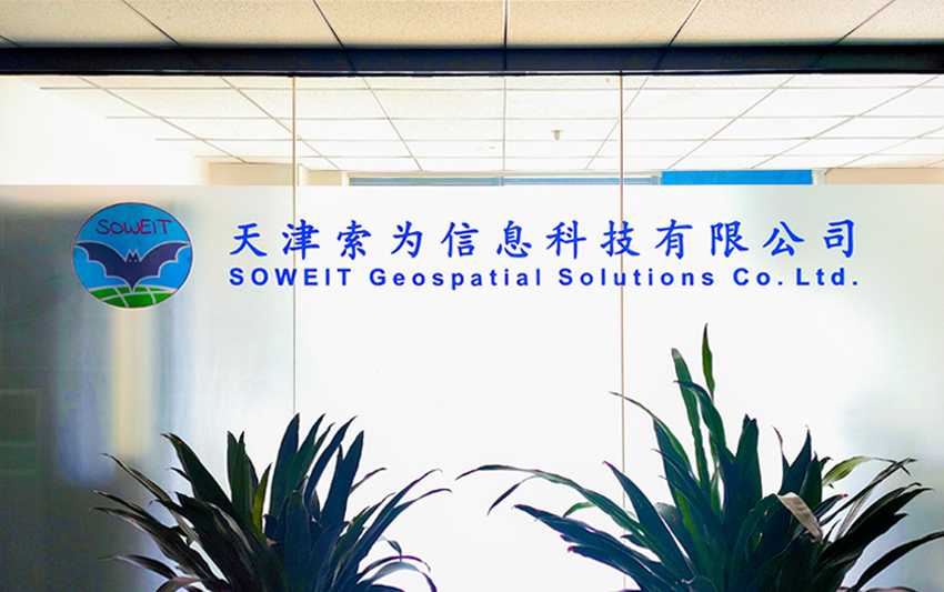
Hello, welcome to SOWEIT Geospatial Solutions Co., Ltd.
Tel:022-65159001中文版
Tel:022-65159001中文版
SOWEIT Geospatial Solutions Co., Ltd. (abbreviation as SOWEIT) was founded in April 2018 with a registered capital of 12 million yuan. It is a national high-tech enterprise, national Class A surveying and mapping qualification, science and technology-based small and medium-sized enterprise, and Tianjin Eagle Enterprise. Over the past five years in the field of surveying and mapping engineering, we have obtained 11 software copyright and 13 patent certificates, as well as the QHSE three-system certification issued by China Classification Society (CCS). At the same time, SOWEIT is a member or a council member of China Society of Surveying and Mapping, China Satellite Navigation and Positioning Association, Jiangsu Renewable Energy Industry Association and Tianjin Surveying, Mapping and Geographic Information Association.
Surveying and mapping technical service scope
Engineering surveying, Marine mapping, surveying and mapping aerial photography, photogrammetry and remote sensing, boundary and real estate mapping, geographic information system engineering.
Personnel and equipment
The company has 48 employees, including 1 international sea level A surveyor, 1 senior engineer, 5 senior engineers, 3 registered surveyors and 8 engineers.
Multi-beam sounding system, three-dimensional synthetic aperture sonar, side scan sonar, shallow formation profiler, submarine cable sounding instrument, UAV, unmanned ship, USBL system, full underwater high-precision three-dimensional attitude instrument, GNSS, single beam sounding instrument, water level gauge, underwater tilt instrument, sound velocity profiler, total station, level, geographic information processing software and other professional measuring equipment and related software .
We will focus on technological innovation, expand service areas, innovate systems and mechanisms, carry forward the spirit of surveying and mapping, and create a professional technical service system.