Hello, welcome to SOWEIT Geospatial Solutions Co., Ltd.
Tel:022-65159001中文版
Tel:022-65159001中文版


Recently, the "Rising National Brands" special series program had a dialogue with Mr. Wang Shiqiang, Chairman of Tianjin Suowei Information Technology Co., Ltd., to explore the innovative de
The SOWEIT's achievements have earned it a spot on the "Rising National Brands" special program.
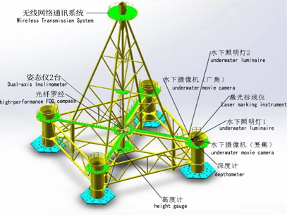
Full underwater precision control, multi-sensor combination, multi-mode collaborative operation using hydroacoustics and optics, and long-distance elevation transmission.
SOWEIT Geospatial Solutions Co., Ltd (abbreviation as SOWEIT) was founded in April 2018 with a registered capital of 12 million yuan. It is a national high-tech enterprise, national Class A surveying and mapping qualification, science and technology-based small and medium-sized enterprise, and Tianjin Eagle Enterprise. Over the past five years in the field of surveying and mapping engineering, we have obtained 11 software copyright and 13 patent certificates, as well as the QHSE three-system certification issued by China Classification Society (CCS). At the same time, SOWEIT is a member or a council member of China Society of Surveying and Mapping, China Satellite Navigation and Positioning Association, Jiangsu Renewable Energy Industry Association and Tianjin Surveying, Mapping and Geographic Information Association.
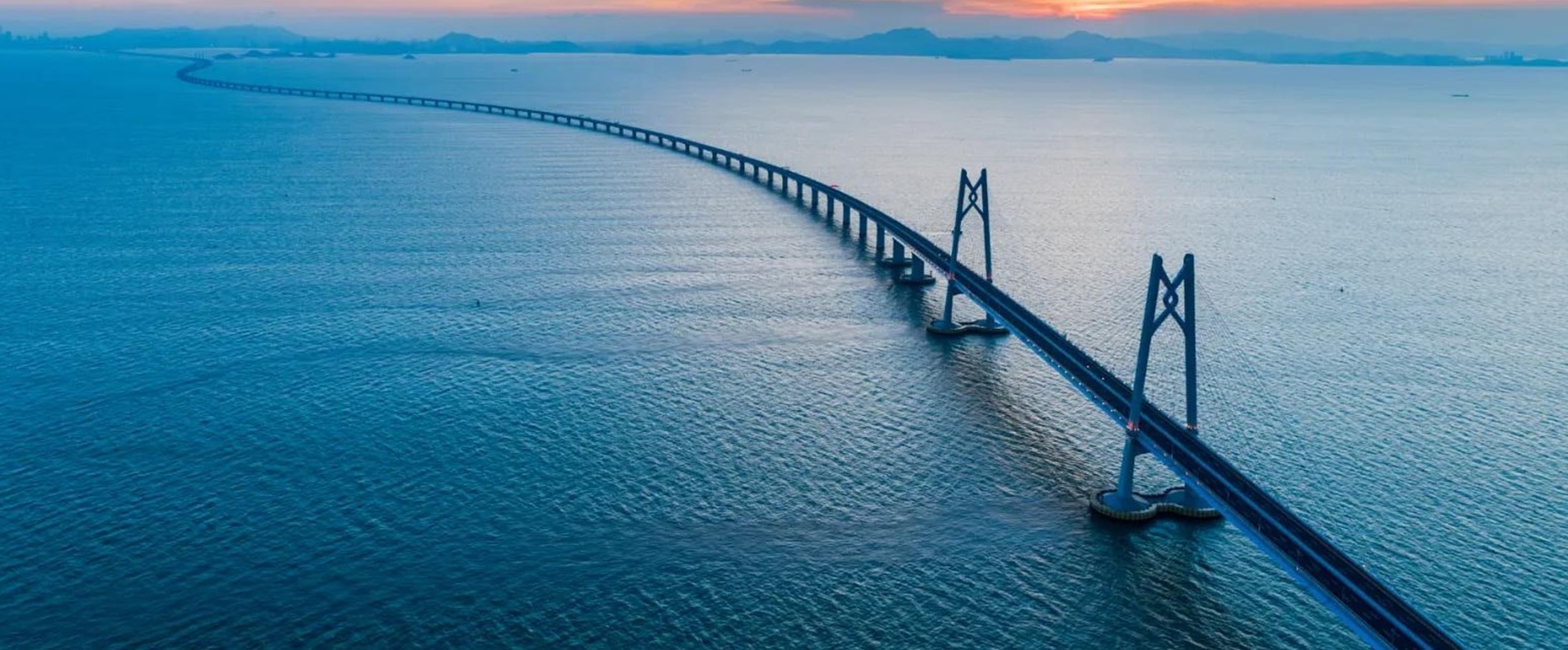
Engineering Surveying, Marine Surveying and Mapping, Aerial Photography Surveying and Mapping, Photogrammetry and Remote Sensing, Boundary and Real Estate Surveying and Mapping, Geographic Information System Engineering.
The SOWEIT currently has 48 employees on board, including one international seaway A-level surveyor, one full senior engineer, five senior engineers, three registered surveyors and eight engineers.
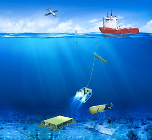
The SOWEIT has multiple sets of professional equipment of investigation and survey, and related software, including but not limited to: Multi-beam Bathymetric System, 3D Synthetic Aperture Sonar, Side-Scan Sonar, Sub-bottom Profiler, Submarine Cable Detector, Unmanned Aircraft, Unmanned Ship, USBL System, Underwater High-precision Three-dimensional attitude meter, GNSS, Single-beam Bathymetry, Water Level Gauge, Underwater Inclinometer, Acoustic Velocity Profiler, Total Station, Leveling Instrument, geographic information processing software.
SOWEIT has a complete technical service system to ensure the smooth and orderly development of each technical service link;
High-precision, highly reliable surveying equipment to ensure the accuracy of measurement data;
Professional technical team and R & D team, according to on-site work needs of research and development to improve and optimize the process of surveying and mapping services, improve service efficiency and quality.
We will focus on technological innovation, expand service areas, innovate systems and mechanisms, carry forward the spirit of surveying and mapping, and create a professional technical service system.