Hello, welcome to SOWEIT Geospatial Solutions Co., Ltd.
Tel:022-65159001中文版
Tel:022-65159001中文版
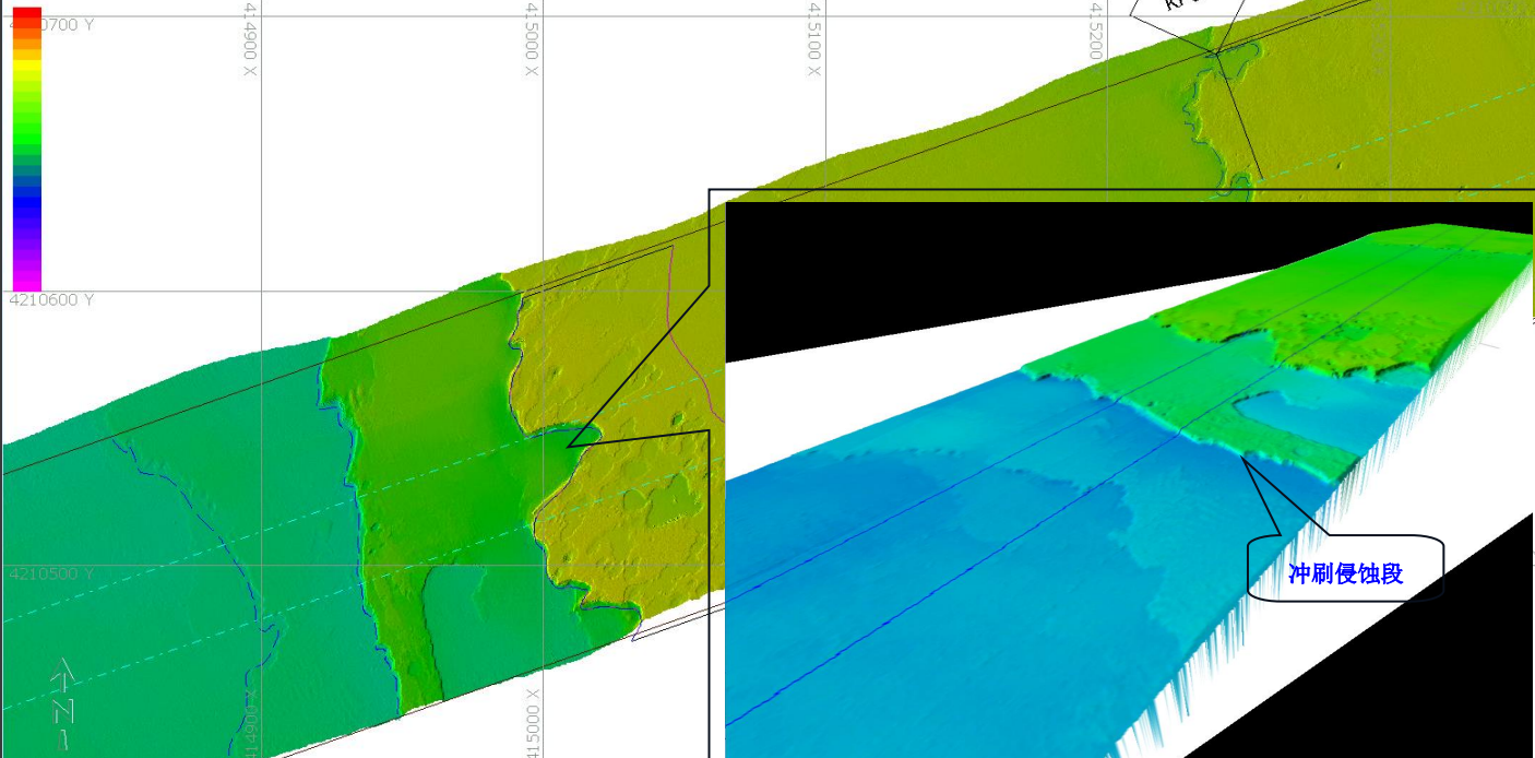
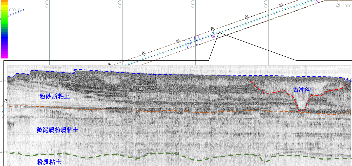
The Wind power G site is located in the shallow sea area of the front of the Yellow River Delta and the south bank of Bohai Bay. The complex sea state characteristics, shallow geological conditions and the deformation characteristics of the soft sediment on the seabed make the sea area prone to a variety of geological disasters, such as underwater landslide, collapse, silt flow, weak stratum interlayers, strong relief terrain and buried channel. Therefore, before the laying of the two 220kv submarine cable routes in the wind field, the operation of the construction cable laying ship sitting on the bottom and anchoring all refer to the characteristic information of the submarine topography, submarine landform, and seabed geological conditions in the construction area of the submarine cable route, and the relevant information needs to be obtained by sweeping survey. Our company is entrusted by the client to undertake the survey task, to carry out the submarine topography, submarine geomorphology, seabed geological exploration and other work in the submarine cable routing area. In the process of implementation, the satellite station differential positioning system, multi-beam sounding system, side scan sonar system, shallow formation profile system and other surveying equipment were used to cooperate with each other, overcoming difficulties such as the significant impact of wind and waves on offshore operations, large safety risks in offshore operations, and large difficulty in shallow bank section investigation. The whole contents of the survey were completed with high quality and quantity, and accurate and reliable results were provided. It has satisfied the progress demand of the client on schedule and has been praised by the client.


We will focus on technological innovation, expand service areas, innovate systems and mechanisms, carry forward the spirit of surveying and mapping, and create a professional technical service system.